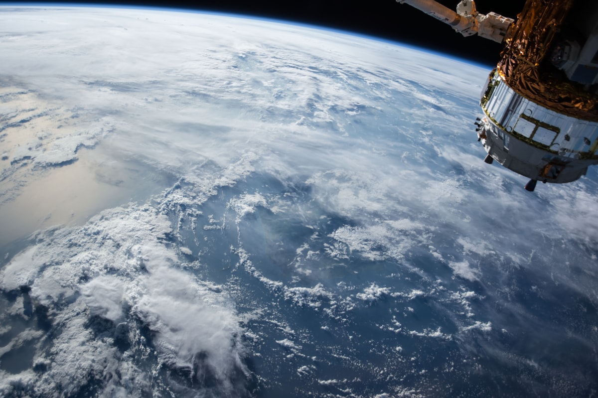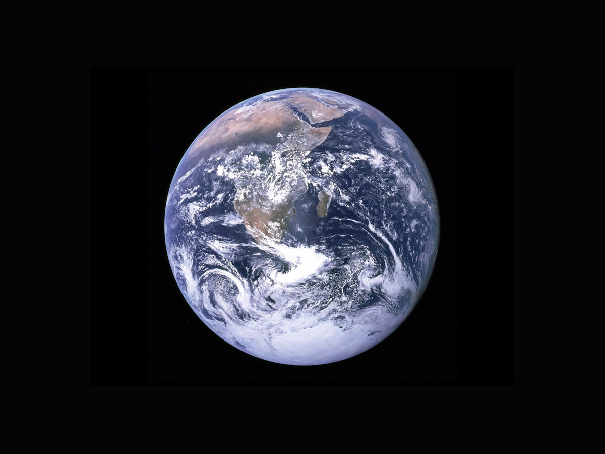
Satellite imagery has evolved far beyond simple mapping. Today, it powers applications across agriculture, real estate, environmental science, urban planning, and emergency response. Understanding these applications reveals just how integral satellite technology has become to modern life.
Agriculture and Farming
Modern agriculture increasingly relies on satellite imagery for precision farming:
Crop Health Monitoring
Multispectral satellite imagery can detect crop stress before it's visible to the human eye. By analyzing how plants reflect different wavelengths of light, farmers can identify:
- Areas needing more water or fertilizer
- Disease outbreaks before they spread
- Pest infestations
- Nutrient deficiencies
Yield Prediction
Agricultural companies use satellite data to predict crop yields months before harvest. This information helps with:
- Supply chain planning
- Commodity pricing
- Food security assessments
- Insurance claim validation
NDVI: The Farmer's Friend
The Normalized Difference Vegetation Index (NDVI) uses satellite data to measure plant health. Healthy vegetation appears bright in near-infrared imagery. By tracking NDVI over time, farmers can monitor crop development and identify problem areas early.
Real Estate and Property
Satellite imagery has transformed how we evaluate and sell property:
Property Assessment
- Lot boundaries: Verify property lines and acreage
- Improvements: See pools, outbuildings, and landscaping
- Neighborhood context: Evaluate surrounding properties and amenities
- Historical changes: Track development over time
Commercial Real Estate
Commercial investors use satellite imagery to analyze:
- Parking lot utilization (to gauge retail traffic)
- Construction progress on competing developments
- Industrial facility expansion
- Retail center vacancy rates
Environmental Monitoring
Satellite imagery is essential for understanding and protecting our environment:
Deforestation Tracking
Environmental organizations monitor forest loss in near real-time using satellite data. Services like Global Forest Watch alert authorities to illegal logging within days of it occurring.
Climate Change Research
Satellites track indicators of climate change including:
- Glacier and ice sheet retreat
- Sea level changes
- Coastal erosion
- Permafrost thaw
- Drought conditions
Water Resource Management
Satellite imagery helps manage water resources by monitoring:
- Reservoir levels
- Wetland health
- Flood extent and prediction
- Water quality in lakes and coastal areas
Fighting Illegal Fishing
Satellite imagery combined with ship tracking data helps identify illegal fishing vessels. Organizations can detect when fishing boats turn off their transponders in protected waters or stray into restricted areas.
Urban Planning and Development
City planners rely heavily on satellite imagery for informed decision-making:
Growth Analysis
- Track urban sprawl and development patterns
- Identify areas ripe for development or redevelopment
- Monitor compliance with zoning regulations
- Plan infrastructure expansion
Transportation Planning
- Analyze traffic patterns visible from space (parking lot usage)
- Plan new roads and transit routes
- Monitor construction progress
- Assess impact of development on traffic flow
Emergency Response and Disaster Management
When disasters strike, satellite imagery becomes invaluable:
Damage Assessment
After earthquakes, hurricanes, floods, or wildfires, satellite imagery helps responders:
- Identify the most damaged areas
- Plan access routes for rescue teams
- Assess infrastructure damage
- Guide resource allocation
Flood Monitoring
Satellites can see through clouds using radar imagery, allowing flood mapping even during storms. This information guides evacuation decisions and emergency response.
Wildfire Tracking
Thermal satellite sensors detect active fires and track their spread, helping firefighters:
- Monitor fire perimeters in real-time
- Predict fire spread direction
- Identify spot fires
- Assess burn severity after containment
Insurance and Risk Assessment
The insurance industry has embraced satellite imagery for:
- Property verification: Confirm property characteristics without on-site visits
- Claims validation: Compare before and after imagery for damage claims
- Risk modeling: Assess flood, wildfire, and hurricane exposure
- Fraud detection: Identify discrepancies in reported property conditions
Archaeology and Heritage
Satellite imagery has revolutionized archaeology:
- Discover hidden ancient structures through soil marks and vegetation patterns
- Map archaeological sites too large for ground survey
- Monitor looting at remote cultural heritage sites
- Track changes to ancient monuments and buildings
Everyday Applications
You likely use satellite imagery regularly without thinking about it:
- Navigation apps: Google Maps and Apple Maps rely on satellite imagery
- Weather forecasts: Powered by weather satellite data
- Ride-sharing: Uber and Lyft use mapping that depends on satellite imagery
- Delivery tracking: Accurate location services enabled by satellites
- Social media: Location tagging and geofilters
Explore Satellite Imagery
See satellite technology in action with our easy-to-use satellite view tools.
Start ExploringKey Takeaways
- Agriculture uses satellite imagery for precision farming and yield prediction
- Real estate professionals analyze properties and neighborhoods from space
- Environmental scientists track deforestation, glaciers, and water resources
- Emergency responders use satellite imagery for disaster assessment
- Urban planners rely on satellite data for development decisions
- Insurance companies use imagery for risk assessment and claims
- Everyday apps like maps and weather depend on satellite technology