
Before you book that dream vacation, take a virtual tour from space. Satellite imagery reveals truths that hotel websites and travel brochures might not show, helping you make informed decisions and avoid disappointing surprises.
Why Satellite View Matters for Travel
Travel marketing shows properties and destinations at their absolute best. Satellite imagery offers an unfiltered view that can reveal:
- The actual distance from a hotel to the beach
- Construction sites near "peaceful" resorts
- The real size of pools and resort grounds
- Nearby busy roads or industrial areas
- The true layout of neighborhoods and attractions
Evaluating Beach Destinations
Beach vacations are particularly suited to satellite research. Here's what to look for:
Beach Quality and Size
Satellite imagery can show you:
- Beach width and length
- Sand color (white sand vs. dark volcanic sand)
- Water clarity and color
- Reef locations for snorkeling
- Rocky vs. sandy entry points
Reading Water Colors
Turquoise water generally indicates shallow, sandy bottoms - ideal for swimming. Dark blue indicates deeper water. Green tints may suggest seaweed or algae. Brown areas near shore might indicate murky conditions or river runoff.
Crowding Assessment
Look at how many resorts and hotels line a beach. A stretch of sand with just one or two properties will feel very different from one with dozens of high-rises. Satellite imagery gives you this perspective instantly.
Hotel and Resort Research
Verifying "Beachfront" Claims
A hotel might claim to be "beachfront" or "steps from the beach." Satellite imagery reveals the actual distance and what lies between. You might discover:
- A busy coastal road between the hotel and beach
- A 10-minute walk that wasn't mentioned
- Rocky coastline instead of sandy beach
- A private beach that's actually tiny
Pool and Grounds Assessment
Resort pools can look enormous in professional photos. Satellite view shows:
- Actual pool size relative to the property
- Number of lounge chairs and deck space
- Garden and common area layout
- Parking lots and service areas
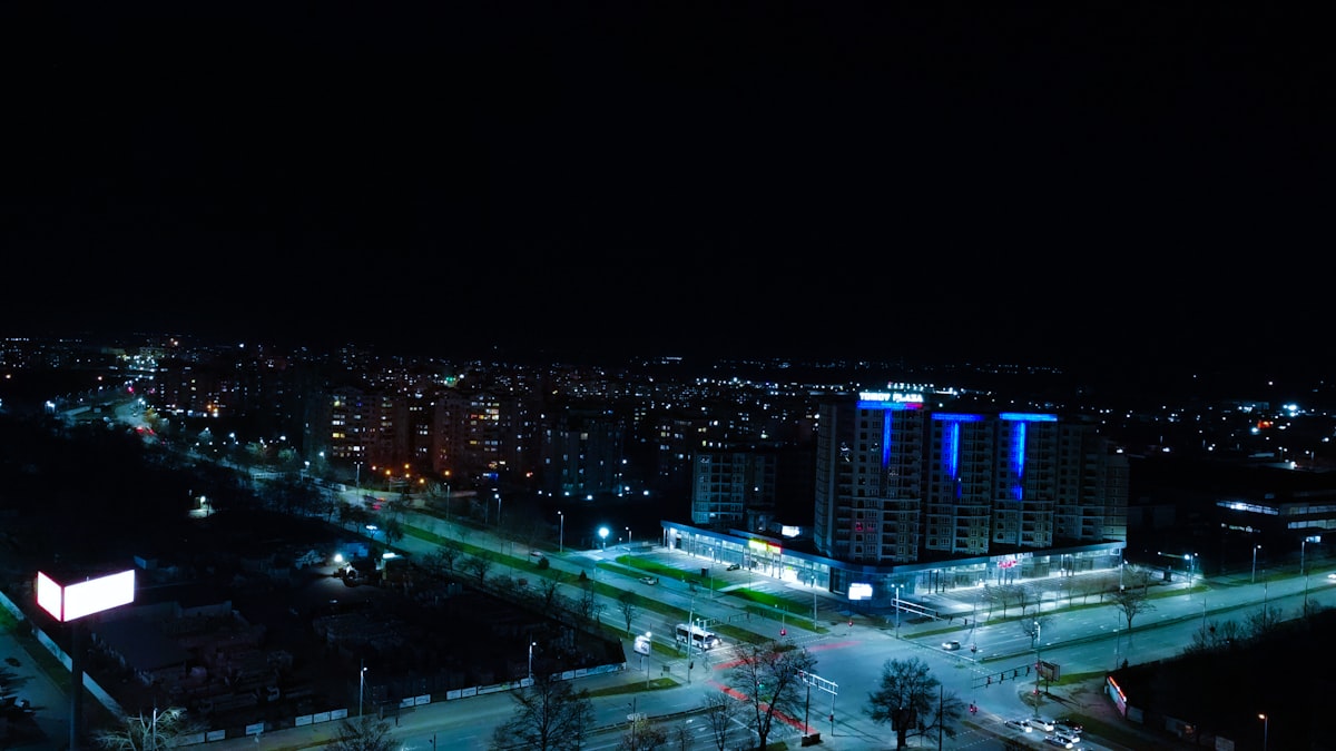
Neighborhood Context
See what surrounds your potential hotel:
- Restaurants and shops within walking distance
- Nearby construction sites (potential noise)
- Major roads and highways
- Industrial or commercial areas
Real Example
A "secluded tropical resort" might look perfect in photos but satellite view could reveal it's next to a cargo port or busy marina. These details rarely appear in marketing materials but significantly impact your experience.
Planning Outdoor Activities
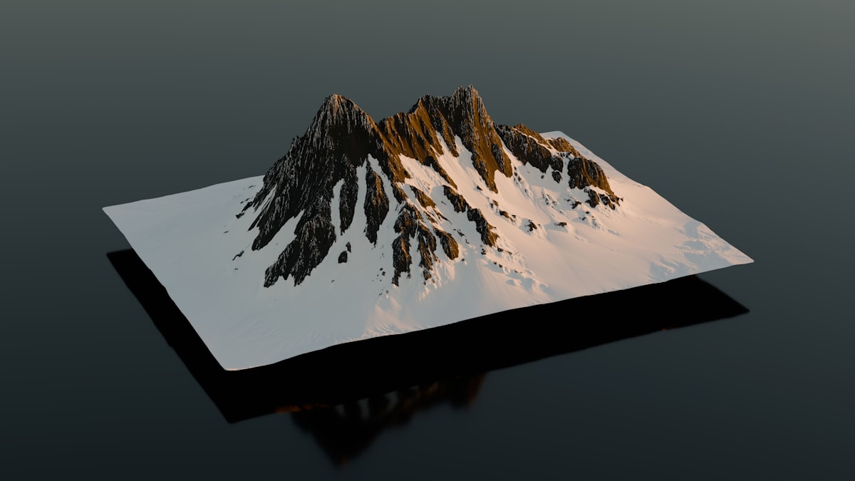
Hiking Trail Research
Use satellite imagery and terrain view to:
- Visualize trail routes and terrain
- Identify viewpoints and photo opportunities
- Spot water features like waterfalls and lakes
- Check trailhead parking availability
- Understand the surrounding landscape
Beach and Water Activities
Plan water activities by identifying:
- Calm bays for kayaking and paddleboarding
- Reef areas for snorkeling and diving
- Wave patterns for surfing spots
- Marina locations for boat rentals
City and Cultural Travel
Neighborhood Assessment
When visiting cities, satellite view helps you:
- Choose hotels in the right neighborhood
- Understand walking distances between attractions
- Identify green spaces and parks
- Find areas with restaurants and nightlife
Attraction Evaluation
Get a sense of attractions before visiting:
- Size of archaeological sites and ruins
- Layout of historic districts
- Garden and palace grounds
- Expected crowd areas based on layout
Practical Planning Tips
- Cross-reference with Street View: After satellite research, drop into Street View for ground-level perspective
- Check image dates: Construction visible in old imagery might be complete now (or vice versa)
- Use measurement tools: Measure actual distances to verify "5 minutes from beach" claims
- Compare multiple options: View competing hotels side-by-side to compare grounds and locations
- Save locations: Mark points of interest for later reference when you arrive
Red Flags to Watch For
- Construction sites: Unfinished buildings near your hotel
- Industrial facilities: Factories, ports, or power plants nearby
- Busy roads: Major highways between hotel and attractions
- Isolated locations: Nothing within walking distance when you expected walkable areas
- Misleading marketing: "Ocean view" rooms facing a parking lot
Start Planning Your Trip
Use our satellite view tools to research your next vacation destination and make informed travel decisions.
Explore DestinationsKey Takeaways
- Satellite imagery reveals what travel marketing doesn't show
- Verify "beachfront" and distance claims before booking
- Assess pool sizes, grounds, and surrounding neighborhoods
- Plan outdoor activities using terrain and satellite views
- Check for construction, industrial areas, and busy roads nearby
- Always cross-reference satellite imagery with Street View